Stewardship Based in Science
Columbia Land Trust’s adaptive approach improves outcomes for nature
Since our founding in 1990, Columbia Land Trust has conserved more than 56,000 acres of land. Because of our collaborative approach, over time many of the conserved sites have been transferred into the care of other land management agencies, including state and county park systems and the National Forest Service. Often this is planned from the outset of a project, and our role is to help facilitate the transfer. However, more than 36,000 acres across five vastly different ecoregions along the Columbia River remain under our stewardship.
This is a large responsibility, and one that we take seriously. Guided by our 25-year Conservation Agenda, Columbia Land Trust is committed to fostering healthy and interconnected landscapes to – benefit people, plants, waters, and wildlife across our diverse service area. We develop a comprehensive management plan for each site that includes specific objectives, strategies, and actions. The plan may include major restoration projects, like reconnecting rivers with their floodplain or re – moving a dam, weed control strategies, and habitat enhancements like planting or adding large wood structures to a stream to increase habitat quality.
Our conserved lands are intended to benefit future generations and exist in perpetuity, but there are – countless variables that impact land management, including human activity, disturbances like floods and wildfire, and invasive species of plants and animals. These many variables are also constantly changing — especially as climate change increases the frequency of weather extremes, shifts stream hydrology, causes vegetation mortality, and introduces myriad other ecosystem impacts.
Adaptive Management
To manage these many variables and the uncertainty they bring, we rely on adaptive land management strategies and continually assess how well our stewardship practices are working and whether we need to shift them to more effectively achieve our longterm goals. This creates space for flexibility, responsiveness, creativity, and problem-solving. “At its heart, adaptive management is learning by doing,” said Stewardship Director Ian Sinks. “You create a plan with a clear definition of success, you implement the plan, you measure and analyze the results, and you make any needed changes or adaptations to your plan. What we learn from this process informs both the next steps of that specific project as well as other future projects.”
Adaptive management is essentially scientific inquiry into how the landscape, wildlife, and plants are responding to given management actions. Our stewardship team tests different hypotheses and builds iteratively toward the conservation outcomes we are aiming for. In conservation and restoration, projects nearly always have room for improvement and create valuable learning opportunities.
“This process can be applied at any scale and to any landscape,” said Sinks. For example, the Land Trust routinely undertakes floodplain reconnection to create or improve habitat for juvenile salmonids along the lower Columbia River. We remove levees, excavate new channels, and revegetate — but it would be a mistake to automatically assume that fish will return to the restored area. We need to track and measure the presence of key species to know if our efforts have been successful, or if there are unexpected hurdles to address.
We see a terrestrial example of this adaptive process at Cranes’ Landing in the Vancouver Lake Lowlands. The Land Trust farms about 400 of the site’s 527 acres to benefit migrating sandhill cranes. Throughout the winter, when thousands of cranes forage and feed at the site, we monitor how many cranes use each sector and take note of their behavior to inform what crops we plant, where we plant them, and even how far apart we space them, to make the site as useful as possible for cranes and geese.
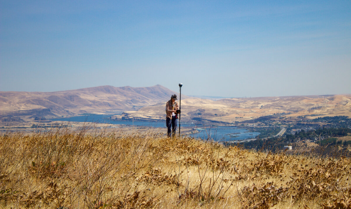
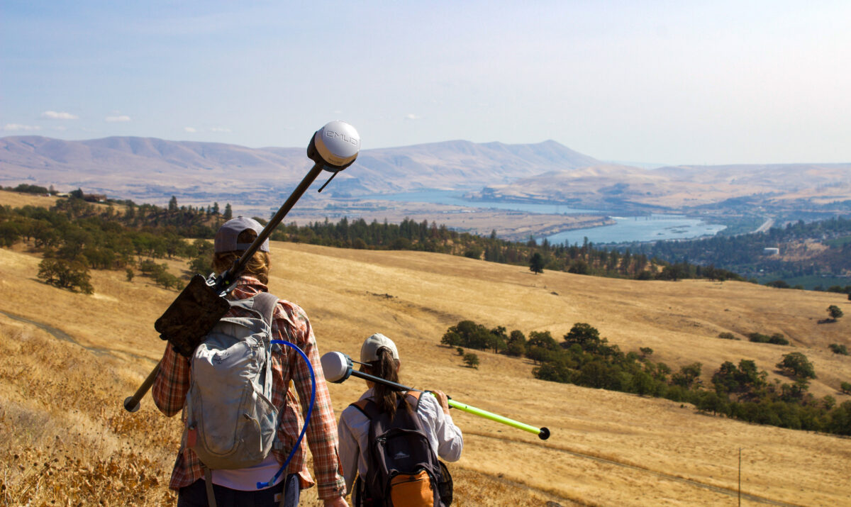
 Monitoring
As Columbia Land Trust has grown, our monitoring capabilities have also expanded. Amy Borde joined the organization in early 2023 as our Monitoring Program Manager, bringing more than 25 years of experience. Much of her career has been spent in the Columbia River Estuary, and a priority for her new position is to standardize our estuary data to better enable analysis across time and location. “The three largest pieces in estuary systems are sediment, water, and plants,” explained Borde. “I’m very interested in the interaction between hydrology and plants. Some hydrology is predictable, but the lower Columbia Estuary is hugely dynamic, and interpretation of the data you collect is the most difficult part of this work.”
Sinks and Borde have been working together in collaboration with Pacific Northwest National Laboratory to publish the results of a seven-year study on control methods for invasive reed canarygrass. Lots of research already existed from non-tidal systems, but when they discovered a lack of findings directly relevant to our work in the intertidal freshwater wetlands of the lower Columbia River, they embarked upon a study that will inform other practitioners working to restore native marsh habitat. “We present and publish our findings because it helps all of us in the conservation community do our work better and more effectively,” said Sinks.
Additionally, Borde’s work will focus on the Ecological Integrity Assessment tool, which we adapted in partnership with the Washington Department of Natural Resources Natural Heritage Program. The tool is designed to be broadly applicable and easy to use, allowing us to quickly assess habitat metrics for ecological systems in our service area. Key metrics include native vegetation cover and composition, presence of non-native species, hydrology, soil condition, and other habitat features such as snags and downed large wood.
With Columbia Land Trust’s leadership, the East Cascades Oak Partnership is also collecting data to better understand how oak systems in the East Cascades respond to management and wildfire. The partnership developed a monitoring protocol standardizing how tribal, federal, state, and local partners collect information about oak systems that has already been deployed 75 times. The data will inform how partners manage oaks to improve resilience in the face of intensifying drought and wildfire.
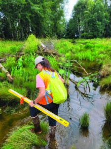
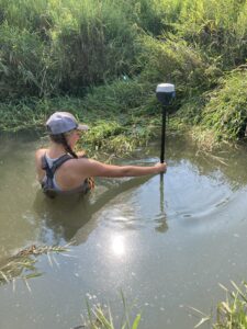 Monitoring work is rarely glamorous, but it does afford the Land Trust stewardship team deep connections with nature and the opportunity to witness firsthand the results of our conservation and restoration efforts. “There is no better way to get to know the landscapes the Land Trust cares for than spending hours squelching knee-deep in the marsh on a hot summer day,” said Stewardship Assistant Helen Gavrilov. “It is worth the sweat and mud to get so well acquainted with native plants and wildlife, and to see the powerful impacts of our stewardship work. I’ve discovered beaver dams while navigating tidal marshes, been swallowed up by cattails, come face to face with marsh wren, and seen juvenile salmon utilizing newly restored habitat. It is immensely satisfying to see these conserved lands thriving and full of life because of our work.”
While much of our monitoring work requires boots on the ground (or waders in the swamp), the Land Trust is also exploring how technological advances can enhance our data collection and analysis. Our stewardship team recently kicked off a vegetation mapping pilot program that utilizes drone technology to chart large expanses of difficult-to-access and difficult-to-map terrain, in order to outline key habitat areas. Data is collected on the ground and then fed through a machine learning algorithm that can identify the plant signatures, including invasive weeds, and map them across an entire site. If successful, this project will streamline our management planning and allow us to track changes in plant communities in much greater detail. The drone data is also able to measure the presence of chlorophyl, which is an indicator of plant stress levels. The pilot program will include about nine sites, initially focusing on herbaceous plant communities in marshes, and eventually expanding to forest sites, where tracking plant stress can be used to inform fire prevention and management strategies.
Borde is excited by the project and energized by the intensive fieldwork it requires. “Combining drone imagery with on-the-ground plant observations is a powerful method to expand our knowledge from small-scale to site-scale,” she said. “The products from this technology will provide a better understanding of these complex sites and allow us to quickly identify necessary management actions and to evaluate progress toward restoration goals.”
Putting It All Together
Caring for nature is complex, important work; our team is continually learning, and our strategies are continually evolving. Columbia Land Trust’s Conservation Agenda emphasizes climate resilience and climate mitigation, and anticipating climate vulnerabilities at conserved sites is a major aspect of our management planning. Our team frequently asks questions like, how do we predict a site will evolve over time? Will it eventually reach a more stable state following restoration? If we conserve a wetland, is it located somewhere that will be negatively impacted by sea level rise? Is it connected to other conserved lands to create buffer zones for wildlife and plant migration in the future?
We don’t have the answers to all of these questions, but adaptive management allows us to learn and adjust as we move forward, to better serve nature, wildlife, and human communities.
“Nature is complex,” said Sinks. “There can be huge differences in how a landscape reacts to external variables from one side of the river to the other, and even the same site can react differently from year to year. We must work with natural processes, use the best information available, be aware of what we don’t know, and implement monitoring to ensure we are constantly learning and adapting. It is part of what makes our job so challenging and fulfilling.”
Read more nature news in our latest Fieldbook.