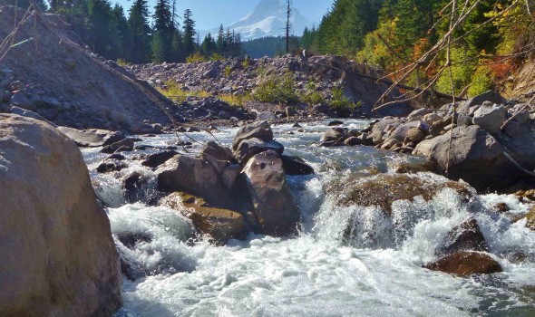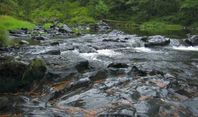
Let the Light In and Let the Water Flow
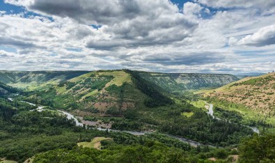
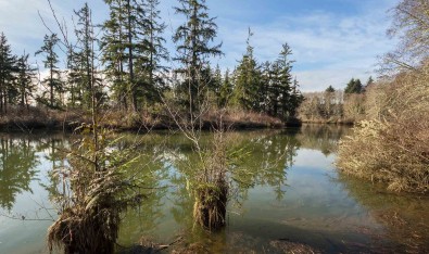
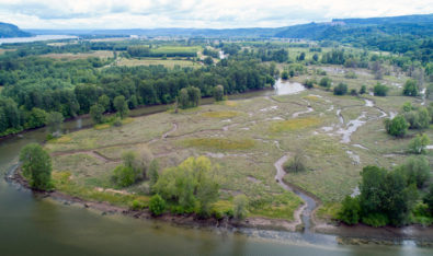
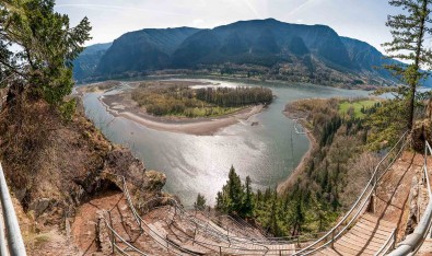
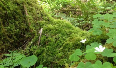
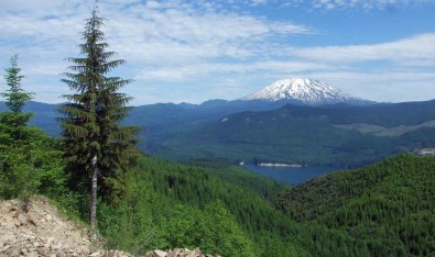
Along the lower Columbia River, estuaries, coastal dunes, and forests blend together, supporting wildlife and local industry. The Land Trust’s conservation priorities here include connecting habitat areas, setting the stage for more old forests, and giving rivers room to move and flood naturally without threatening infrastructure. This fall we kicked off two restoration projects to…
Read More